
Proposals
Site and surroundings
We have submitted an outline application for a development of up to 283 high quality new homes to help meet South Kesteven’s growing housing needs.
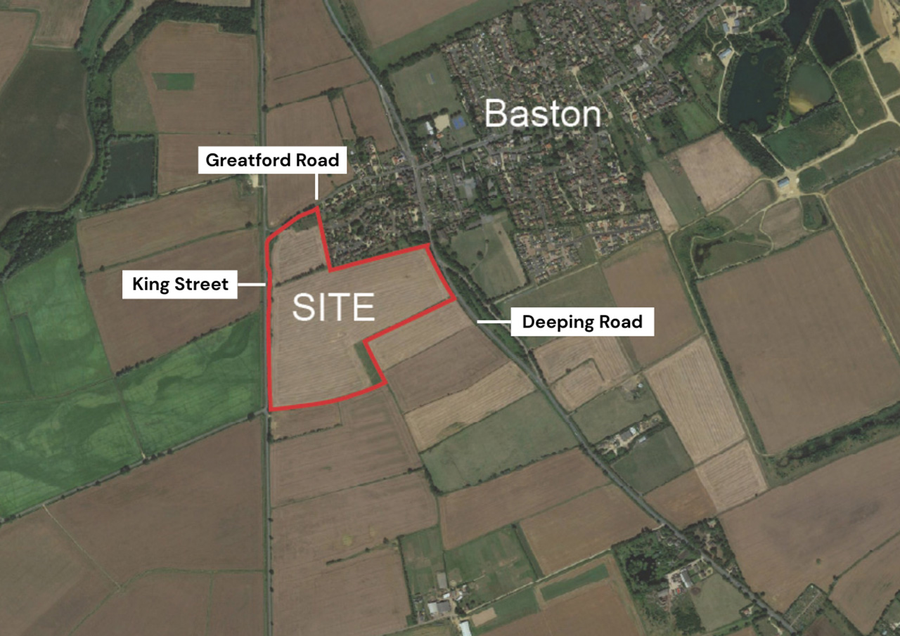
The site sits between Deeping Road and Baston Road/King Street. Baston and nearby Langtoft already offer schools, healthcare and local services, and there are regular bus routes connecting the area to Bourne, Market Deeping, Peterborough, Stamford and Spalding. Market Deeping, just to the south, provides a wider range of shops, leisure facilities and employment opportunities.
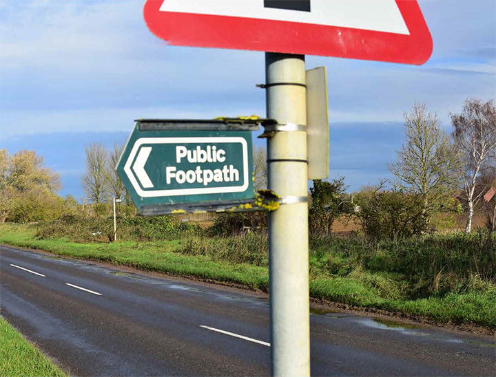
The site also benefits from easy access to Public Rights of Way, creating safe walking and cycling routes and helping future residents reach village facilities sustainably.
Our vision goes beyond delivering new homes through our commitment to enhancing the local environment and supporting the community. This will include investing in key infrastructure, like schools, healthcare and local roads, cycling and pedestrian improvements.
The site
Site location and masterplan
The planning application is submitted in Outline with all matters reserved except for access. Below is the submitted illustrative masterplan which details how the development could be designed. A subsequent Reserved Matters application would confirm the exact layout and appearance of the development.
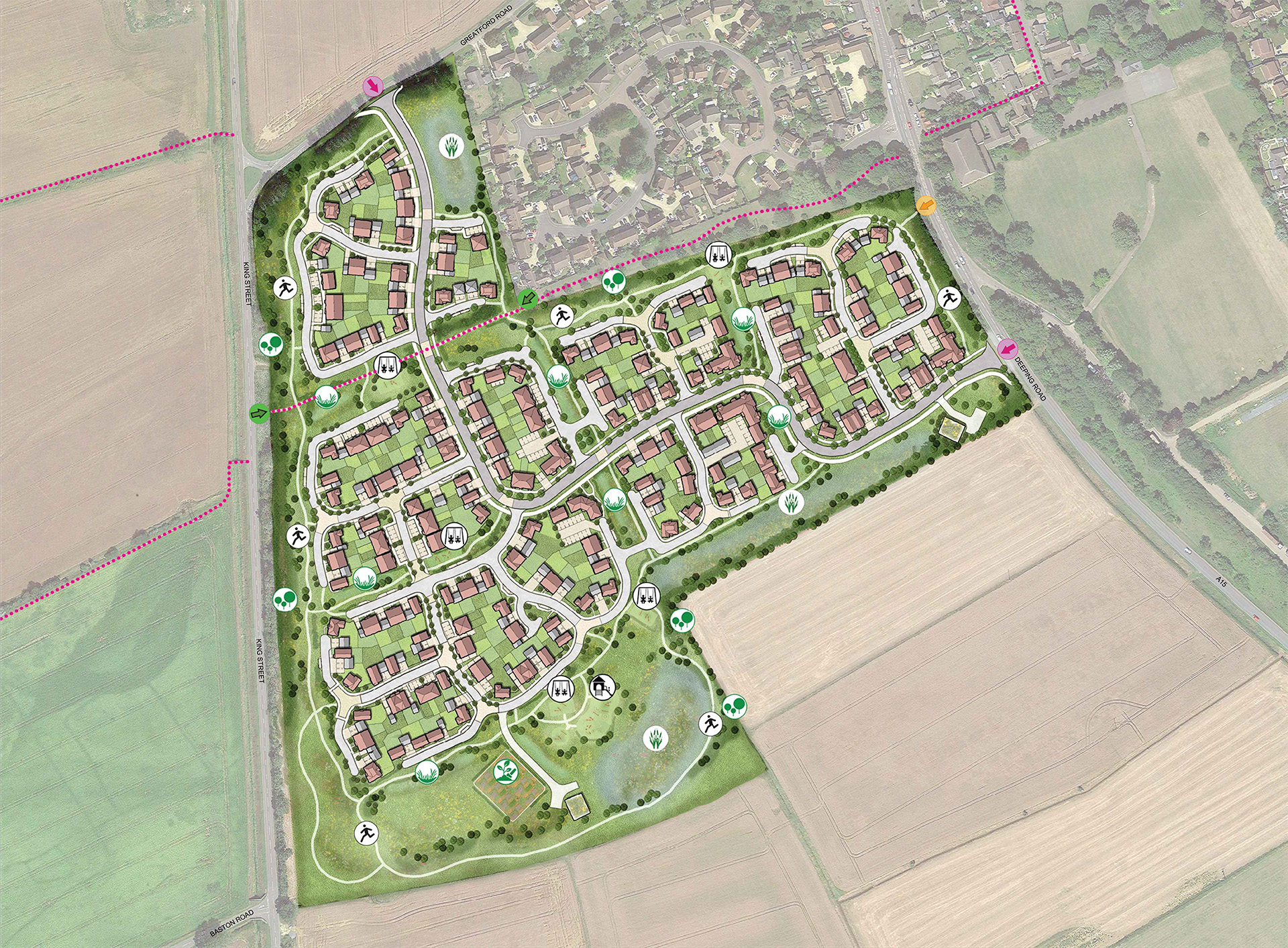
 Site boundary
 Indicative areas of native tree planting
 Indicative location of LAP
 Indicative location of LEAP
 Indicative allotments / community gardens
 Indicative surface water strategy / basin
 Indicative surface water strategy / swale
 Indicative pedestrian route – internal loop
 Existing Public Right of Way
 Proposed location of all modes access
 Existing pedestrian / cycle access point into the site
 Proposed new pedestrian / cycle access point into the site
Timeline
Overview of the proposals process
Timeline is subject to change due to planning and consultation.
January 2026
Consultation with the community commences.
16 February 2026
Consultation closes.
April 2026
Submission of an outline planning application for consideration by South Kesteven District Council.
We are here
Autumn 2026
Anticipated determination of the proposals by South Kesteven District Council.
2027 onwards
If outline permission is approved, detailed designs for the development will be brought forward through a reserved matters application.